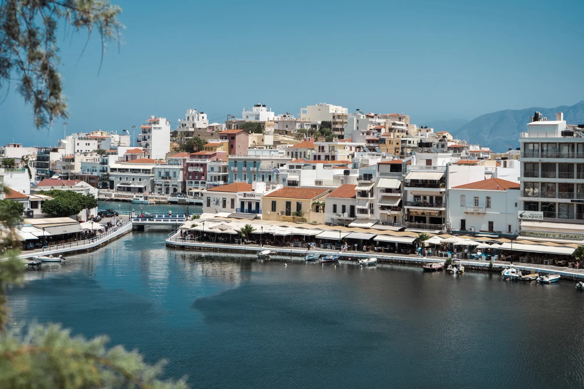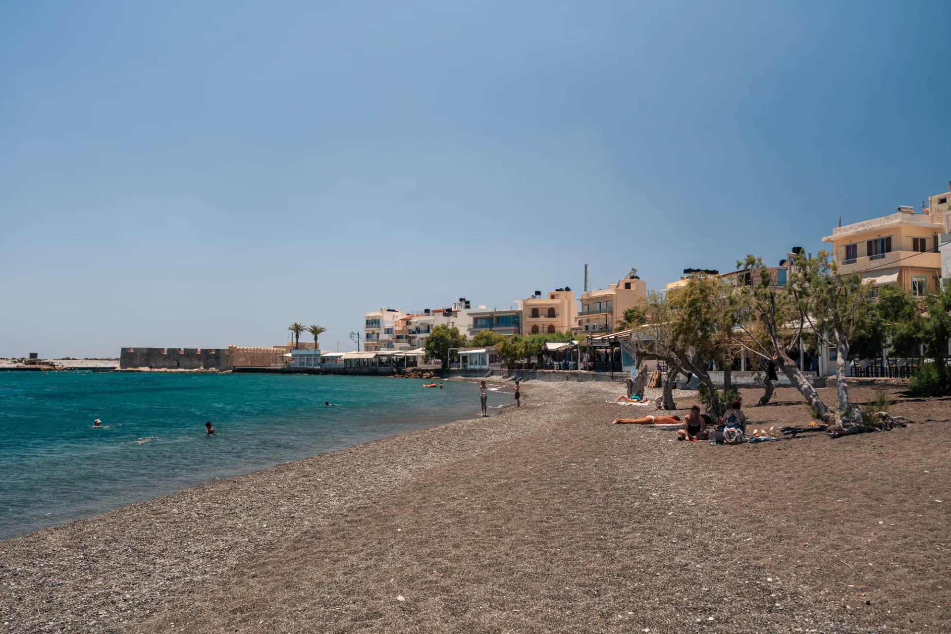

On a map of Crete, Ierapetra is the only proper town facing the Libyan Sea. Just under 18,000 inhabitants, an old Ottoman quarter huddled around a Venetian fortress, a sandy beach that runs for 4 km to the east, and behind the town a sea of plastic greenhouses that supplies a good share of Greece's vegetables in winter.
It is also the port the boats to Chrissi Island leave from, and the most convenient base for exploring the south-east: the Sarakina gorge, the village of Myrtos and its Minoan site, and the beaches from Koutsounari to Makrygialos. The town doesn't have the postcard charm of Agios Nikolaos or Chania, and that is exactly what makes it interesting: people live here all year round, to the rhythm of farming more than tourism.
Here is what you need to know before you go: what the title of “southernmost town in Europe” is really worth, what there is to see in town, where to swim, which trips to take and how to plan your stay.
Ierapetra, really the southernmost town in Europe?
The claim is everywhere, from local brochures to online guides. It is accurate, provided you read it carefully. Ierapetra lies at about 35° latitude north: it really is the southernmost town in Greece and, more broadly, in geographical Europe.
Two nuances are worth knowing. First, the southernmost point of Europe is not Ierapetra but the island of Gavdos, south-west of Crete, whose Cape Trypiti is considered the southern tip of the continent; but Gavdos only has a few hamlets, not a town. Second, if you count Cyprus, a member of the European Union but geographically in Asia, Limassol (34.7° north) is further south. So the accurate wording is: the southernmost town in geographical Europe, excluding Cyprus.
This position explains a great deal: the climate, the greenhouse economy and the town's historic links with North Africa. In antiquity, the Dorian city of Hierapytna was the most powerful in eastern Crete until it was taken by the Romans in 67 BC, and its port traded with Egypt and the East.
What to see in the old town
The historic centre can be explored on foot in two or three hours, ideally in the late afternoon when the heat eases. Everything is concentrated west of the modern centre, between the old harbour and the seafront.
Kales fortress
The small square fort guarding the entrance to the old harbour is the town's emblem. It dates back to the 13th century, at the start of Venetian rule. Damaged by an earthquake in 1508, it was strengthened in 1626 under Francesco Morosini, then reused by the Ottomans after they took the town in 1647. The name “Kales” comes from them, derived from the Turkish word for a fortress.
The restored interior hosts cultural events organised by the municipality. The opening hours given online vary (often 8am to 3pm, closed on Mondays): check on site. The walk around the outside, along the jetty, is free and offers the best view of the town at sunset.
Kato Mera, the old quarter
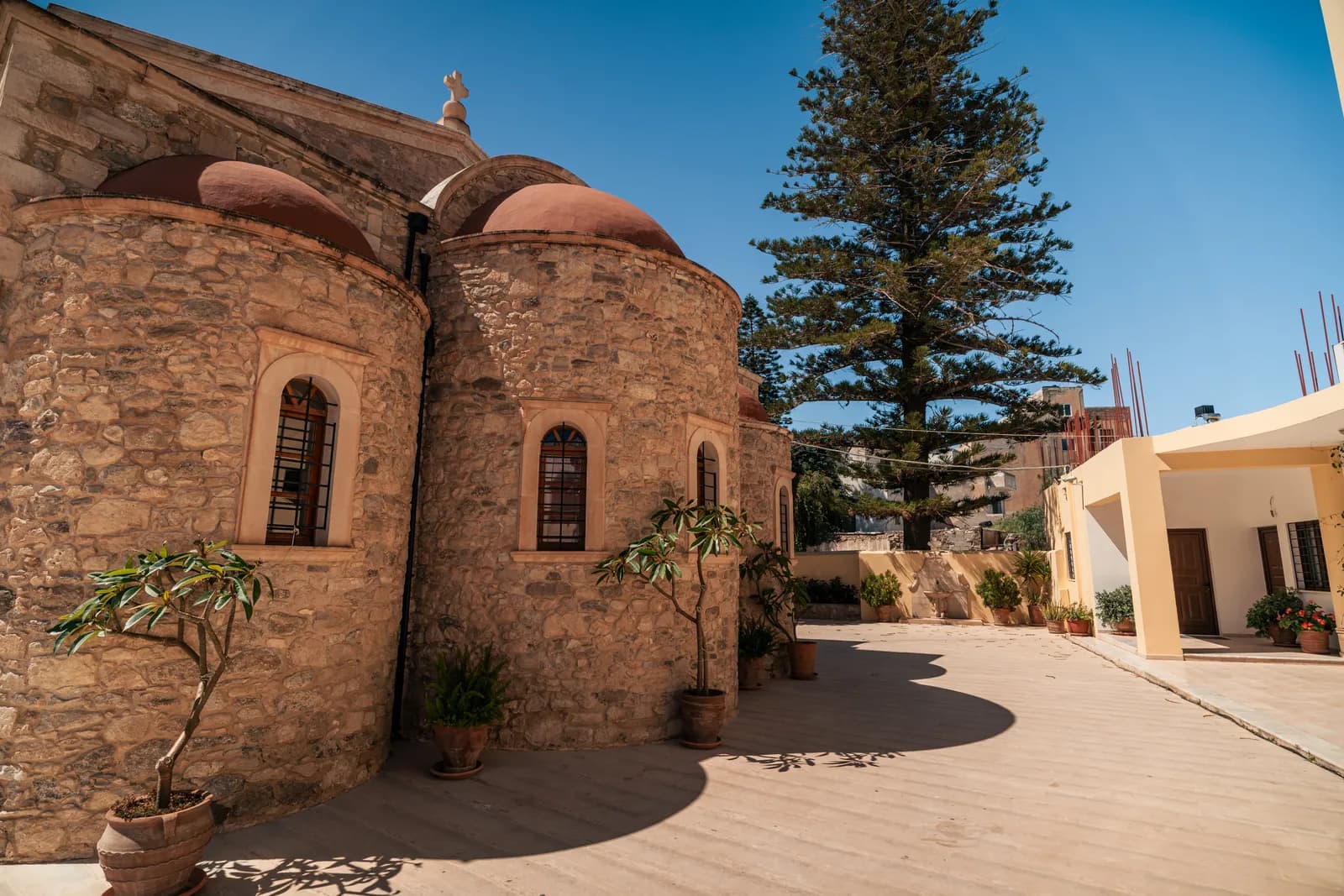
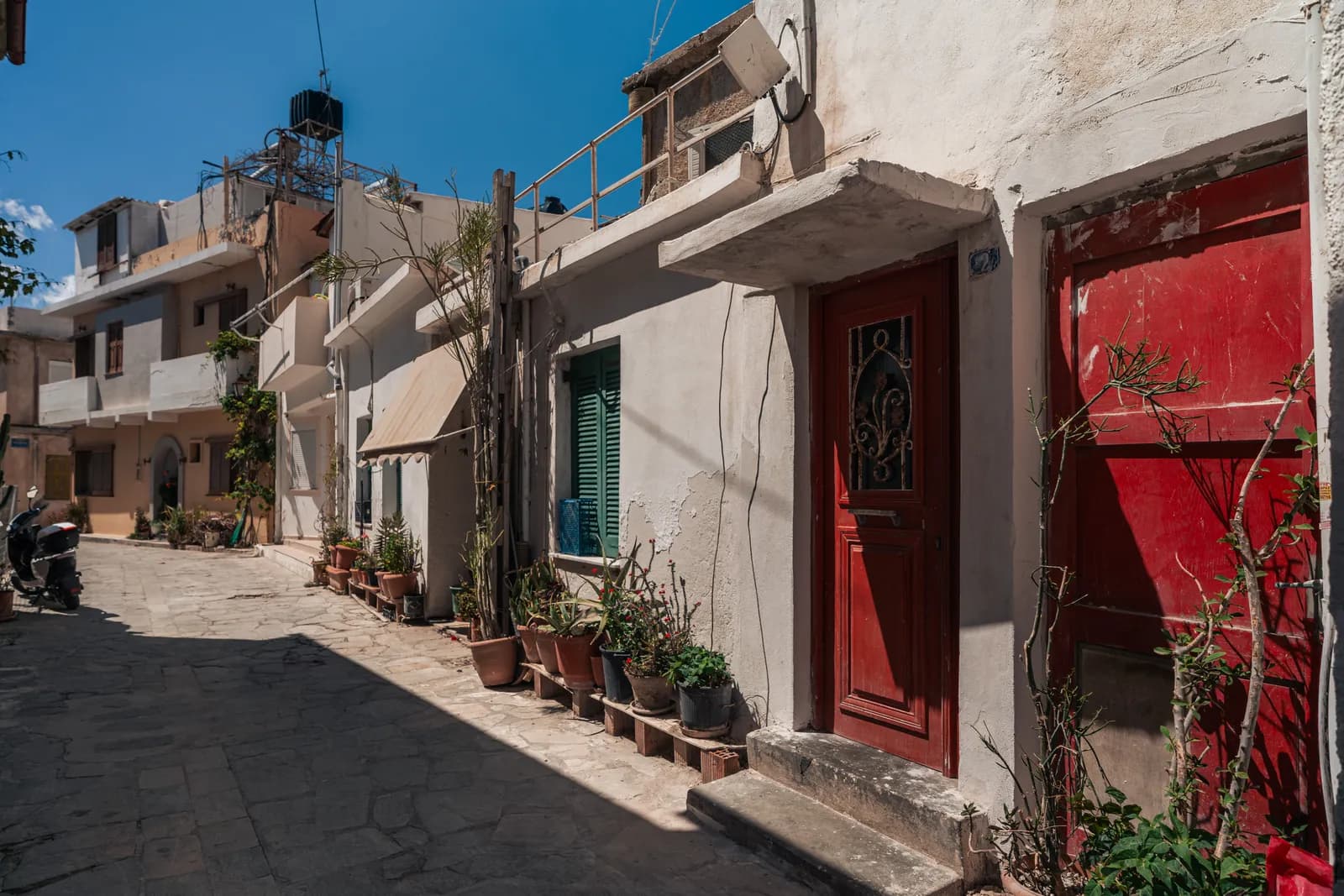
Ierapetra is traditionally divided into Pano Mera (the upper part) and Kato Mera (the lower part), the old quarter set on the south-west headland. This is where you should get lost: narrow lanes, low houses with courtyards, steps, small churches and neighbours chatting on their doorsteps. It is not a museum piece, people live here, so be discreet.
The Ottoman mosque and fountain
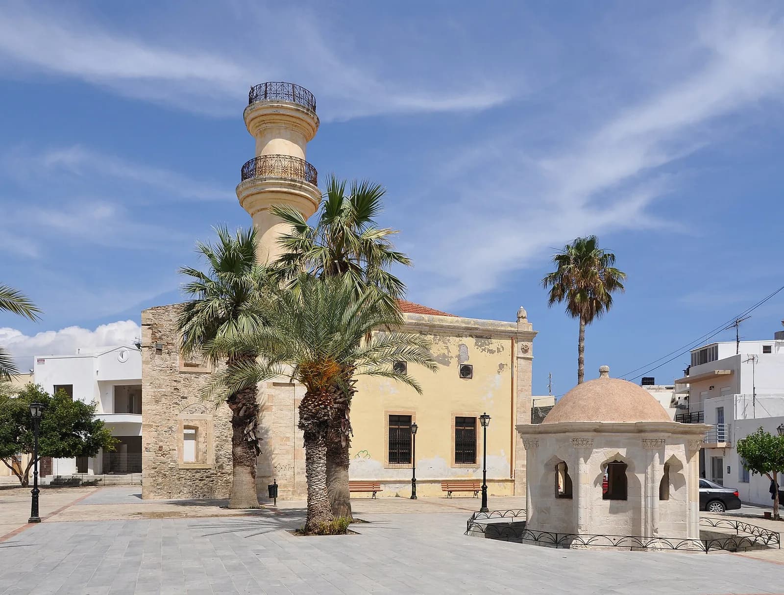
In the heart of Kato Mera stands the town's former mosque, dating from the late Ottoman period, with the base of its minaret. Right next to it, a domed Ottoman fountain with open arches is a reminder that the Muslim community lived here until the population exchange of 1923. The ensemble is seen from the outside; the inside of the mosque only opens occasionally.
The so-called Napoleon's house
In the lanes of Kato Mera, one house is presented as the place where Napoleon Bonaparte is said to have spent a night in 1798, at the time of the Egyptian campaign. According to local tradition, he stayed there incognito and left his host a note revealing his identity. No historical document confirms this visit: it is a tradition to be enjoyed as such. The house is private and can be seen from the street.
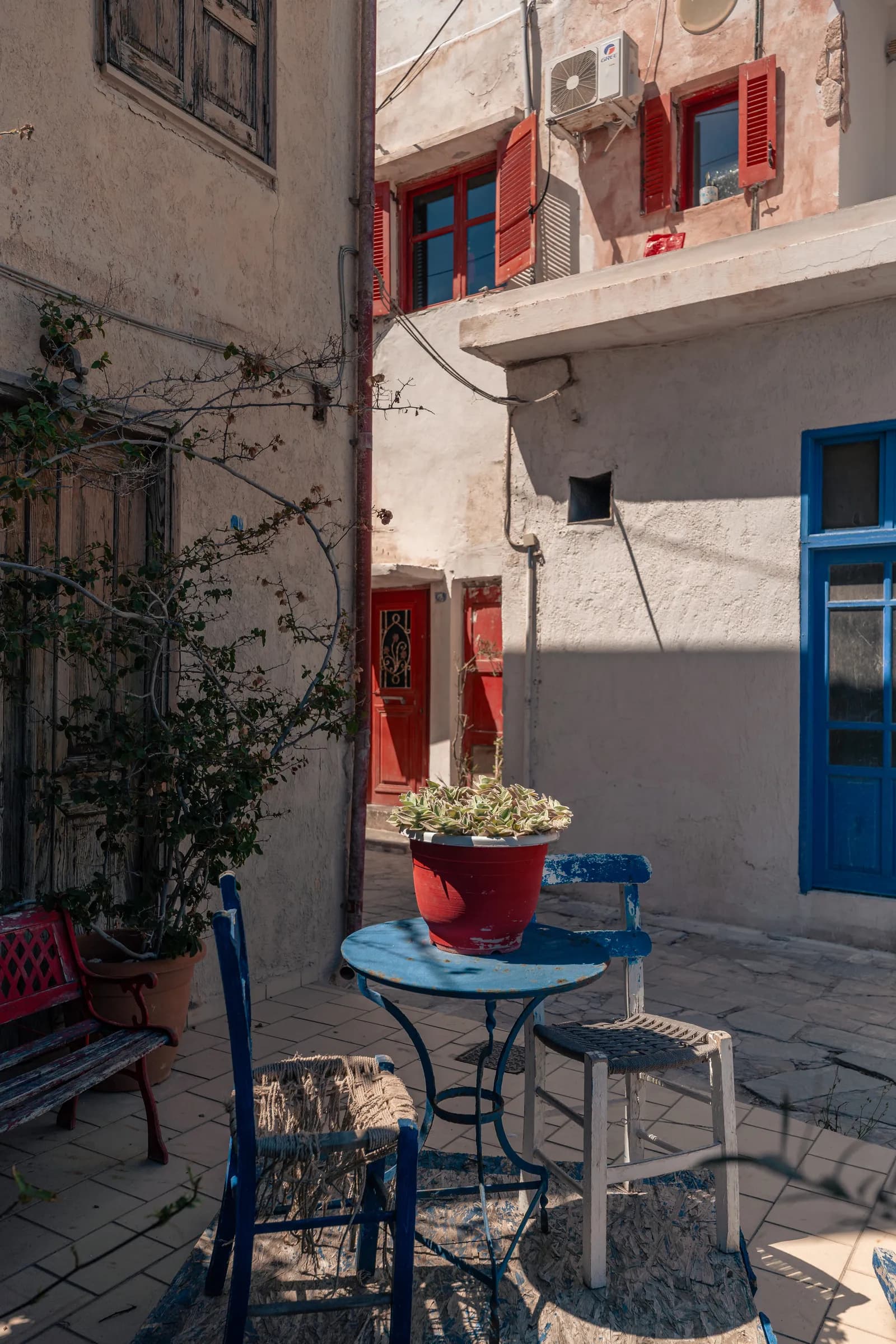
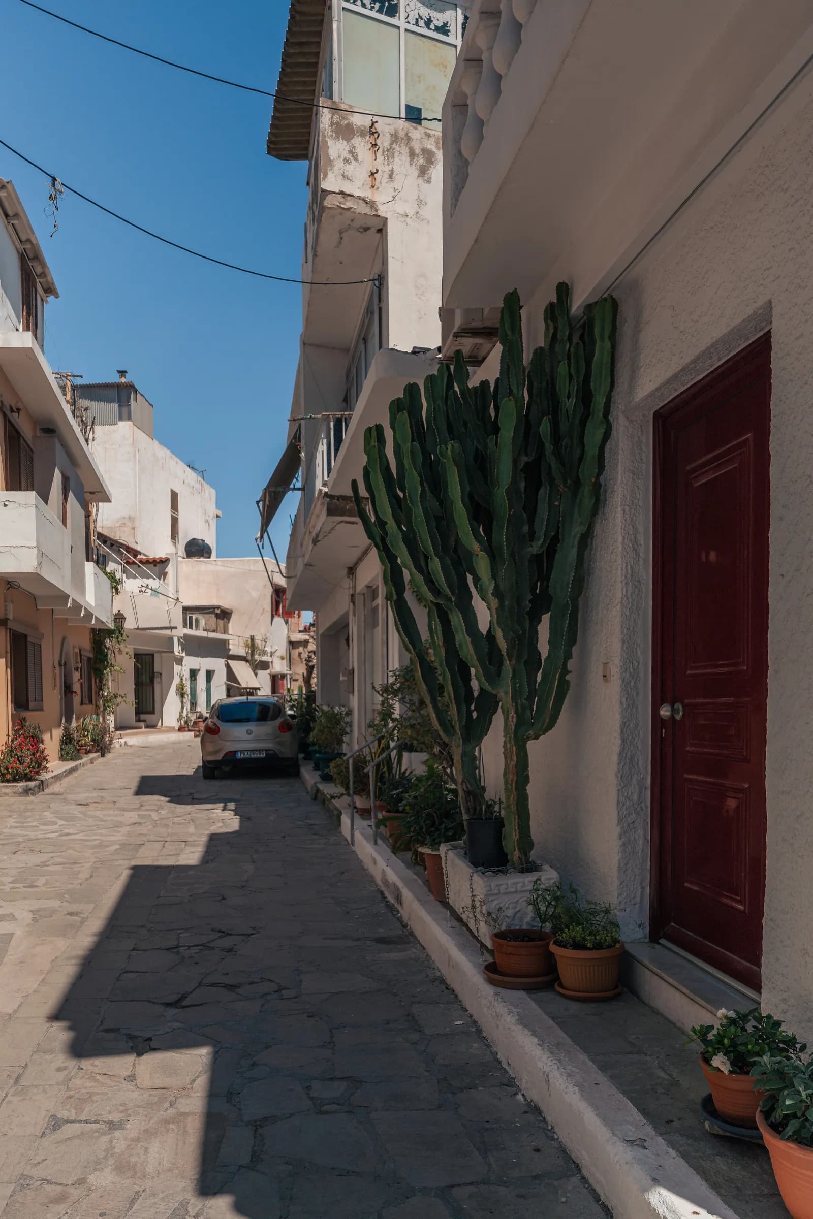
Photos : Pierre Bouyer
The archaeological collection
Ierapetra's archaeological collection occupies an 1899 building in the town centre, a former school from the Ottoman period. It is small but packed, bringing together objects from the whole province, from Minoan to Roman times.
The star piece is the Episkopi larnax, a Late Minoan terracotta sarcophagus found almost intact in the nearby village of Episkopi. Its painted sides show hunting scenes, chariots and Minoan religious symbols. Not to be confused with Kamares ware, an older Minoan pottery style that has nothing to do with this piece. Another highlight: a remarkably well-preserved Roman statue of Persephone, a reminder of wealthy Roman Hierapytna.
| Information | Details |
|---|---|
| Opening hours | 8.30am to 3.30pm, closed on Tuesdays |
| Price | €5 (€3 reduced) |
| Visit length | 45 min to 1 hour |
| Free entry | Certain national days and categories of visitors, according to the rules of the Greek Ministry of Culture |
The Goddess of Myrtos, the famous anthropomorphic jug found near Ierapetra, is not displayed here but in the archaeological museum of Agios Nikolaos.
Beaches of Ierapetra and the east coast
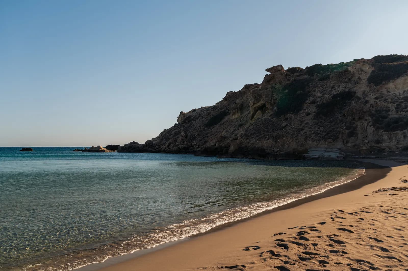

Photos : Pierre Bouyer
In town: the long east beach
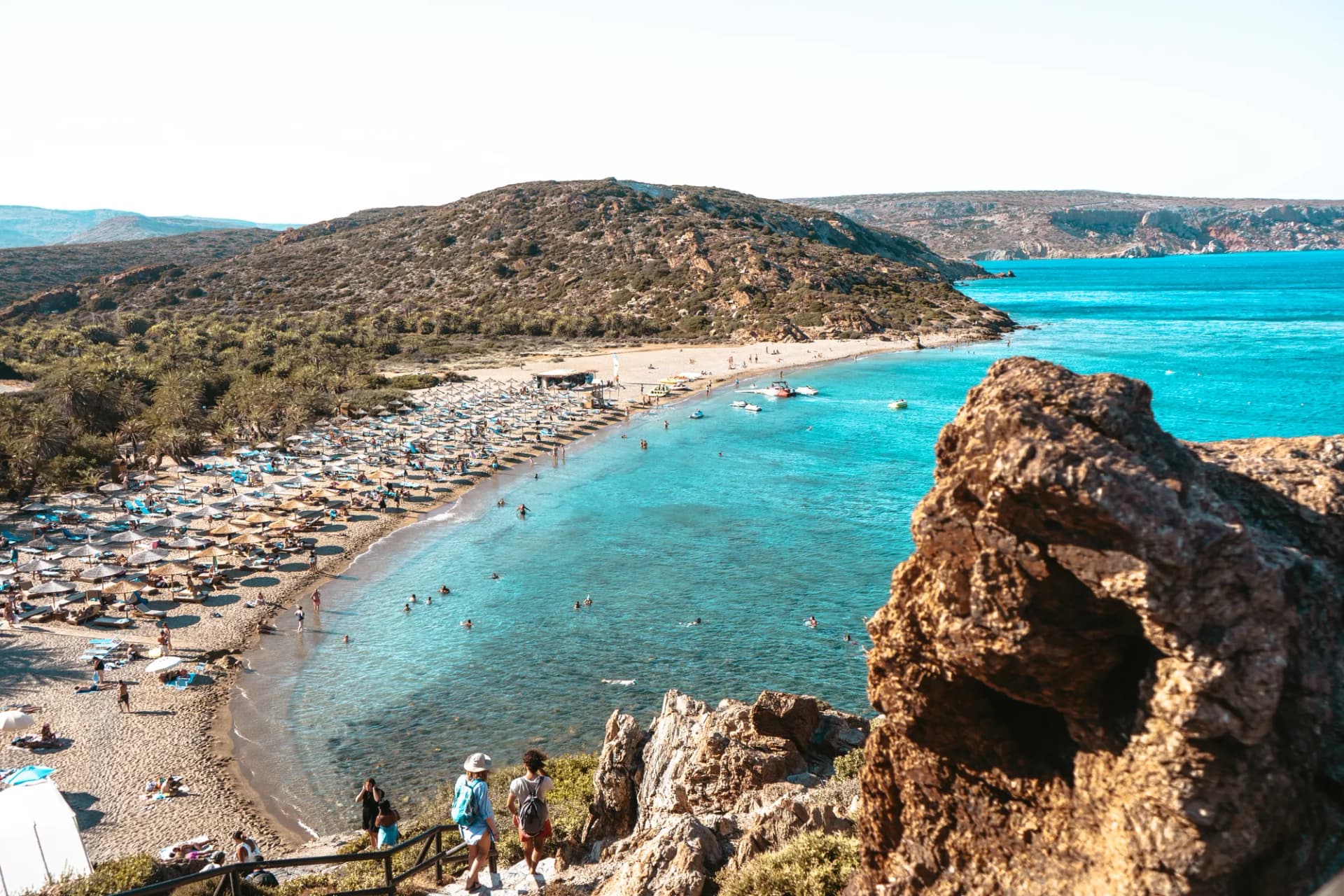
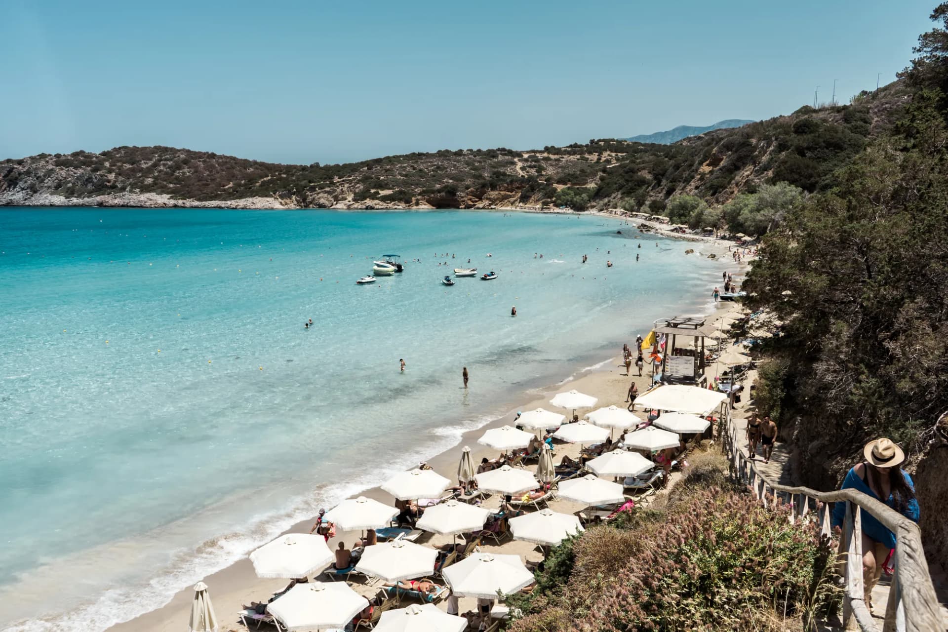
The town's main beach starts near the church of Agia Fotini and stretches for about 4 km to the east, under the name of Agios Andreas beach, often called “Long Beach”. The first section, near the centre, is sandy, with facilities (sunloungers, showers, lifeguards in season) and a Blue Flag. The further east you go, the more the sand gives way to small grey pebbles, and the quieter it gets. There is also a small beach by the old harbour, below the fortress, handy for a quick dip.
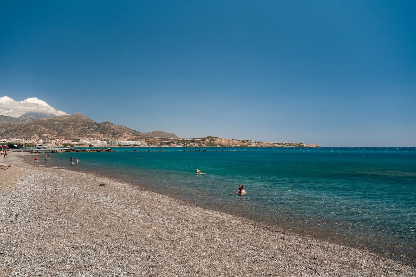
Heading east: from Koutsounari to Makrygialos
The coast road towards Sitia passes a string of beaches, each worth a stop. Allow about:
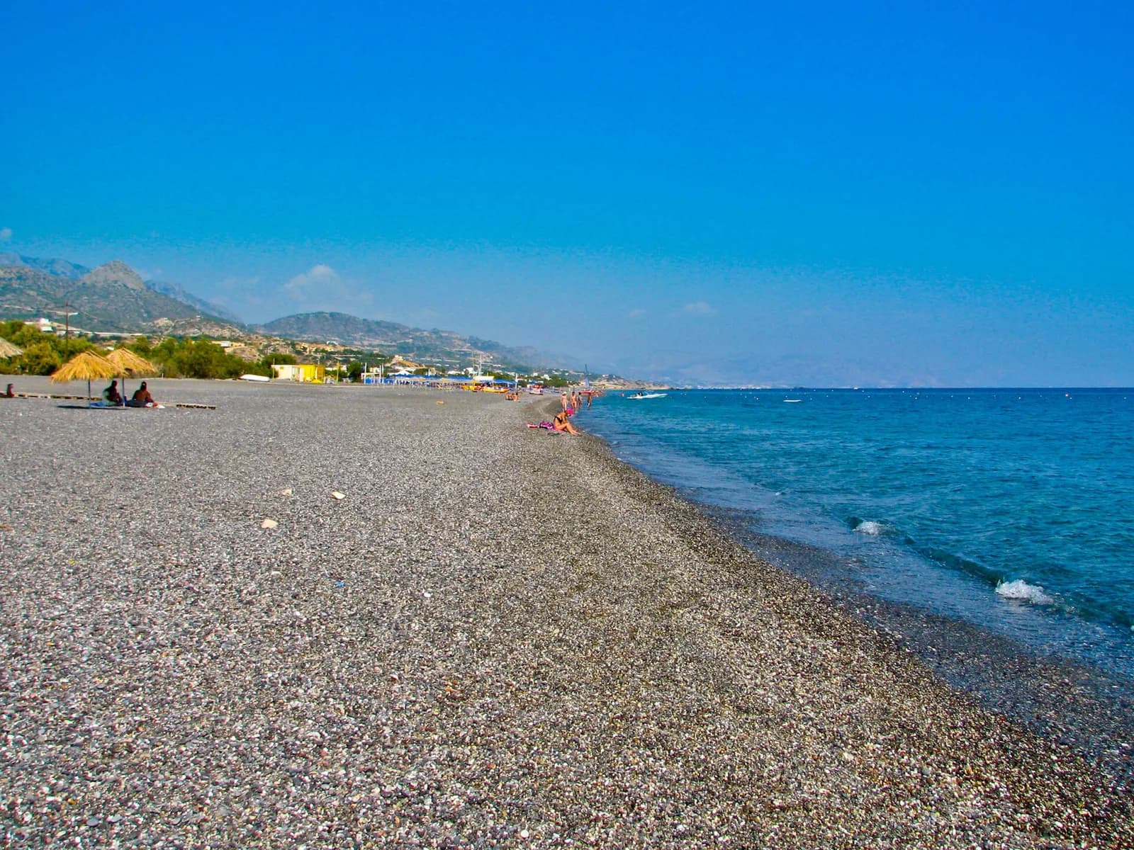
- Koutsounari, about 7 km away: a long beach of sand and small pebbles, with a campsite and hotels.
- Galini, about 13 km away: a small sheltered cove at the foot of a cliff, popular for its clear water.
- Achlia, about 15 km away, 500 m from Galini: a fine sandy beach at the mouth of a small valley, with little development.
- Makrygialos, about 26 km away: a very gently shelving sandy beach, ideal with children, in the heart of a quiet seaside village.
If you want to put your head underwater, the rocky coast between Galini and Makrygialos has some lovely seabeds; I cover it in our selection of the best snorkelling spots in Crete.
A sunny microclimate and a plain of greenhouses
Ierapetra is often described as the sunniest town in Greece. The most quoted figure is over 3,000 hours of sunshine a year (Wikipedia puts it at over 3,100 hours); some recent climate series suggest something closer to 2,800 hours. Remember the order of magnitude: it is one of the sunniest places in the country, with mild winters and a swimming season that lasts until late October.
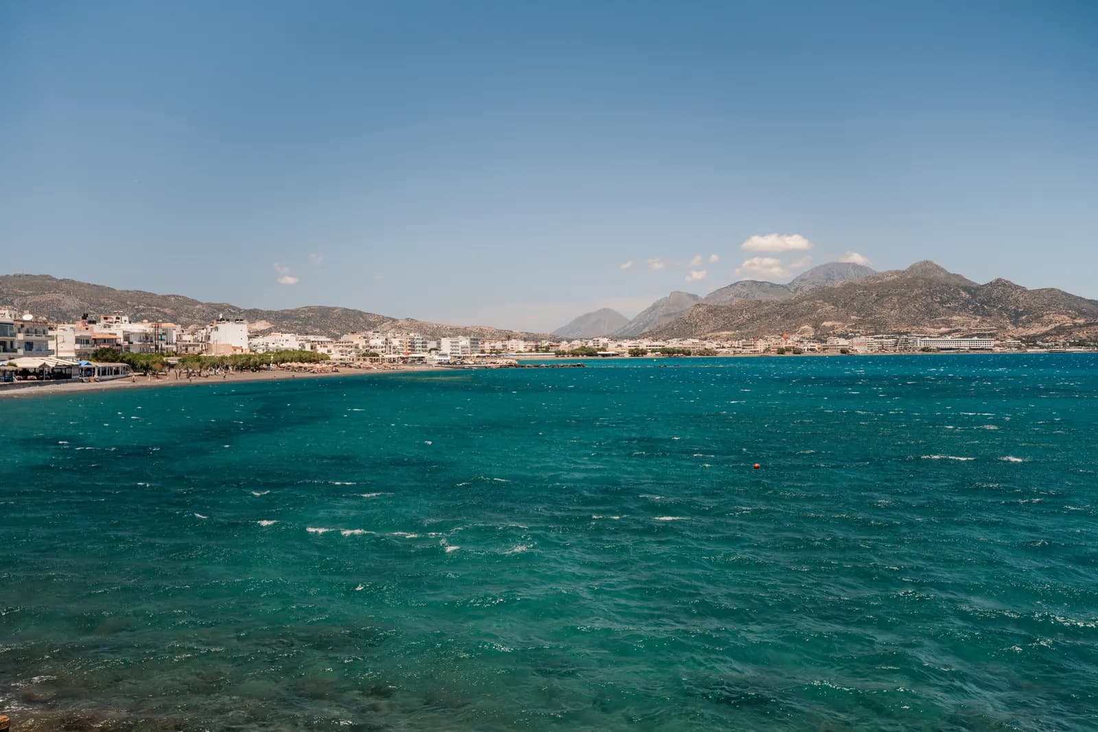
This climate has shaped the local economy. Since the 1960s, the plain around the town has filled with greenhouses growing tomatoes, cucumbers, peppers, aubergines and early watermelons. Depending on the source, they cover from 15 to over 20 km², and most of the town's economy depends on this farming, with tourism coming second. When you arrive, the landscape of white plastic sheeting is a surprise: this isn't postcard Crete, but it is part of the island's reality, and a good reason to eat local in the town's tavernas.
Chrissi by boat: what has changed
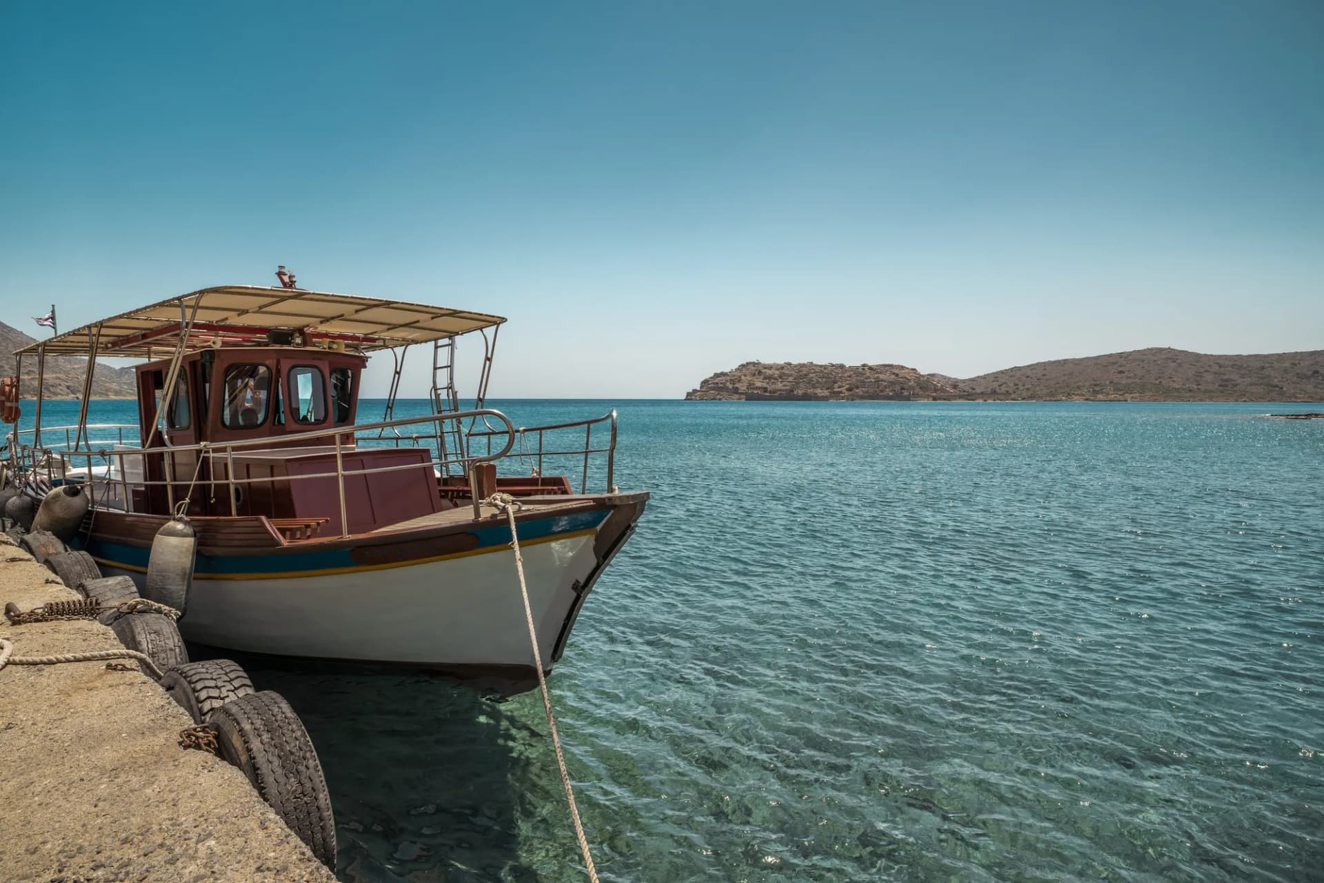
Chrissi Island, about fifteen kilometres offshore, is Ierapetra's flagship day trip: dunes, a juniper forest and turquoise water. But the rules have changed. Since 2025, landing on the island has been banned by regional decree, to protect its fragile ecosystem. Boats still leave from Ierapetra harbour, but swimming is only from the boat, at anchor.
Allow about €40 to €45 for a standard boat trip from Ierapetra, more for a private option. Before booking, check that the operator clearly describes a cruise with swimming at anchor: an offer that still promises a day “on the beach” is out of date. All the details are in our guide to visiting Chrissi Island.
Gorges and villages around Ierapetra
The Sarakina gorge, near Mythi
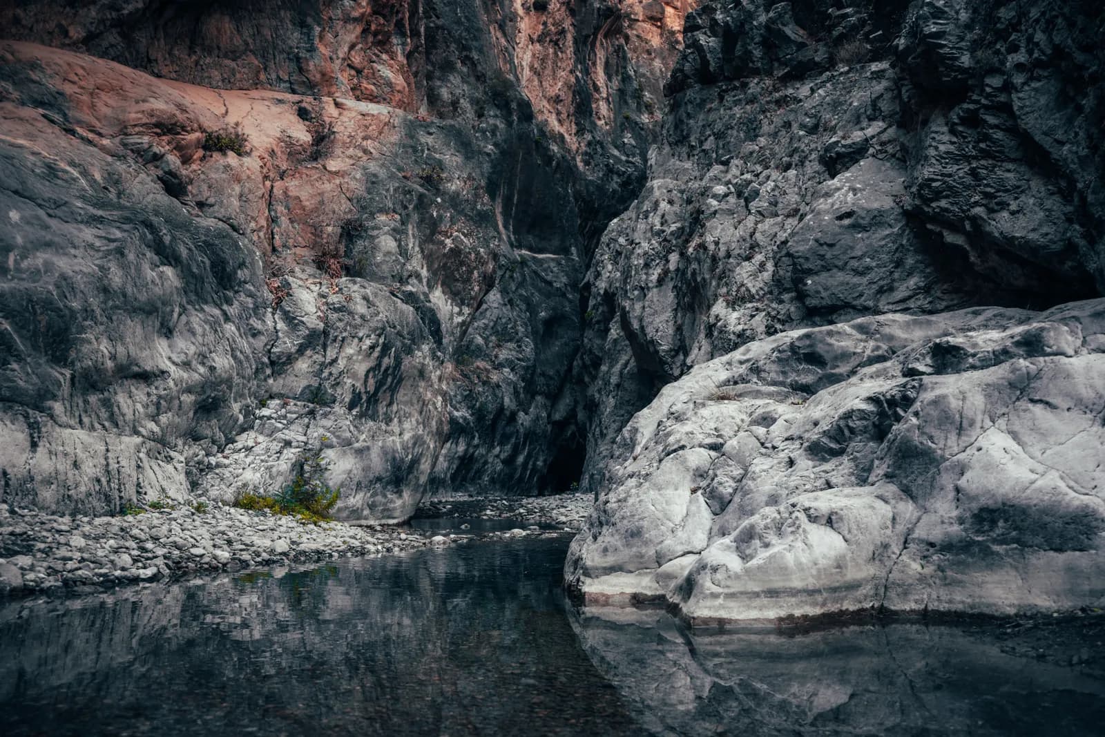
About 15 km west of the town, above Myrtos, the Sarakina gorge opens near the small village of Mythi. It is about 1.5 km long, with walls rising to about 150 m and a width of just 3 to 10 m in places. It takes 1.5 to 2 hours. While not technical, it is more than a simple stroll: in some sections you have to walk in the water of the Kriopotamos river and clamber over a few boulders. Bring shoes that can get wet. The difficulty is generally rated as moderate, and the water level varies a lot with the season.
The Ha gorge, for canyoning only
Heading north across the Ierapetra isthmus, you can see from the road the spectacular cleft of the Ha gorge, cut into the Thrypti massif near Monastiraki. It is fascinating, but it is not a hike: it is a technical canyon, with around twenty abseils and passages only a few tens of centimetres wide. Getting through it requires canyoning gear, real experience and ideally a guide. For most travellers, it is something to admire from the road or from its mouth.
Myrtos and the Minoan site of Fournou Korifi
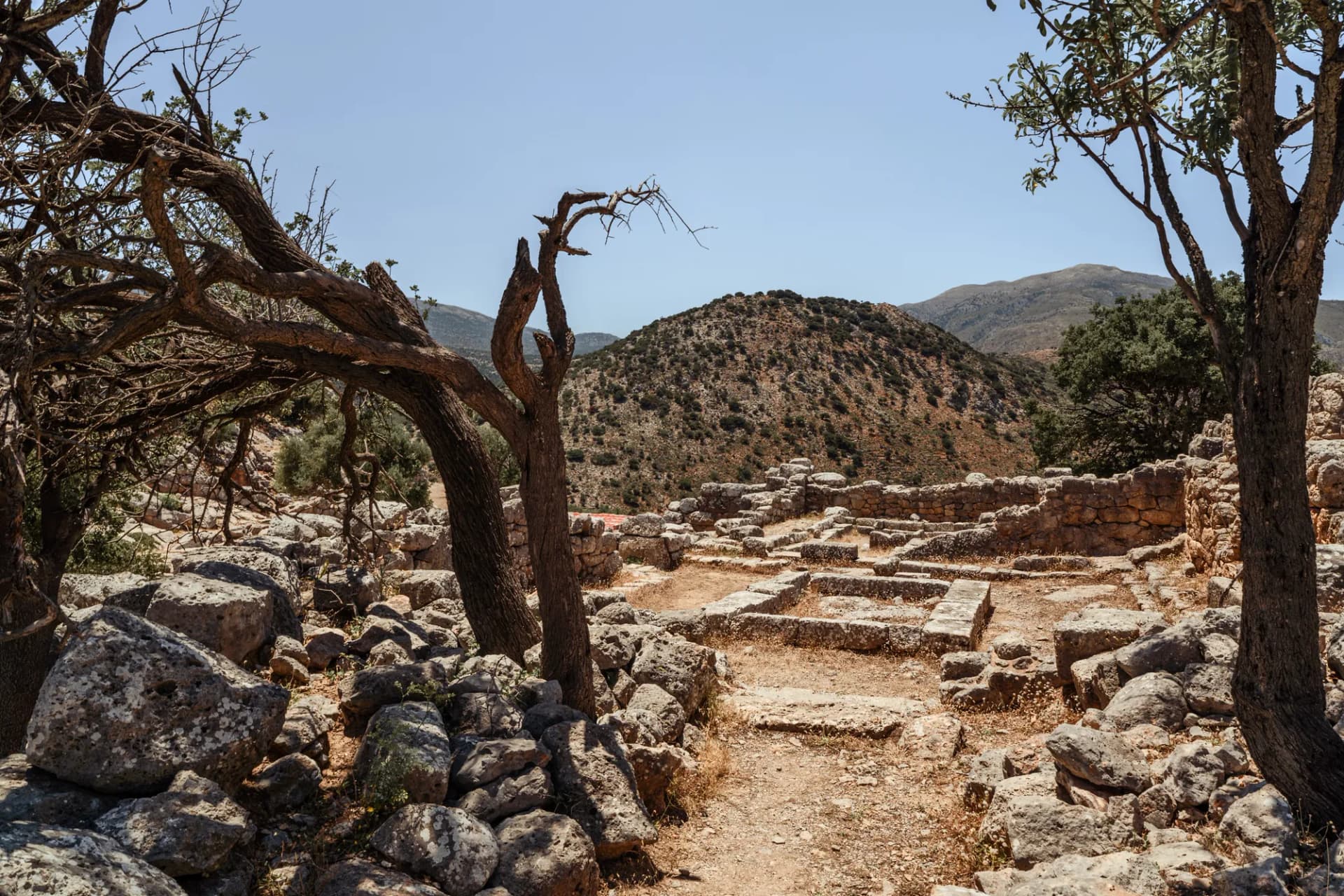
About 15 km west of Ierapetra, Myrtos is a whitewashed village set beside a pebble beach, quieter and more intimate than the town. On a hill east of the village lies Fournou Korifi, an Early Minoan settlement (around 2800 to 2200 BC), one of the key sites for understanding daily life before the great palaces. This is where the Goddess of Myrtos was found. The site is free to enter, with no facilities: come early, with water and a hat.
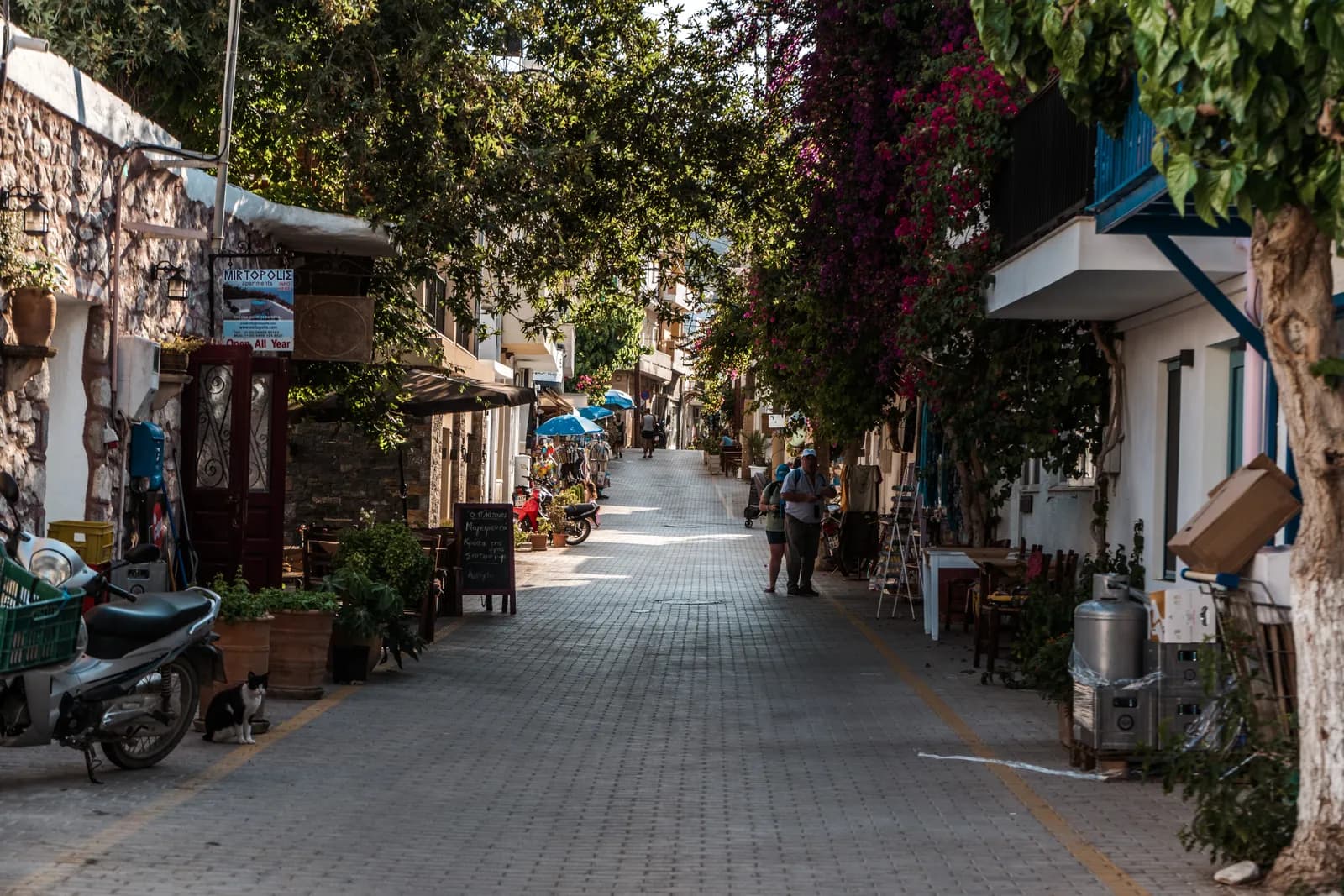
In the village, the small Myrtos archaeological and folklore collection displays finds from Fournou Korifi and the Minoan villa of Pyrgos. Its opening hours are limited and change with the seasons: ask locally.
Practical information: getting there, where to stay, when to go
Getting there and around
Ierapetra is reached by road from the north coast: you cross the isthmus, the narrowest part of Crete, between Mirabello Bay and the Libyan Sea. Distances and driving times are approximate:
| From | Distance | Driving time | KTEL bus |
|---|---|---|---|
| Agios Nikolaos | about 36 km | about 40 min | about 40 min, €4.10 |
| Elounda | about 47 km | about 55 min | change at Agios Nikolaos |
| Fourni | about 50 km | about 1 hour | no direct service |
| Heraklion and its airport | about 100 km | about 1 hour 30 min | 2 to 2.5 hours, about €10.50 |
| Myrtos | about 15 km | about 20 min | a few buses a day |
| Sitia | about 60 km | about 1 hour 10 min | a few buses a day |
KTEL Heraklion-Lassithi buses link Heraklion and Ierapetra several times a day, usually via Agios Nikolaos. Timetables change with the season: check ktelherlas.gr the day before. To explore Sarakina, Myrtos or the eastern beaches, a car is far more practical; our guide to renting a car in Crete will help you avoid the usual pitfalls.
DiscoverCars
Car rental comparison — 150+ countries
Compare prices from Hertz, Avis, Sixt and local providers. All fees included, free cancellation. Rated 4.6/5 on Trustpilot.


Parking: the centre is one-way and the lanes of Kato Mera are not made for cars. Park along the seafront or in the streets around the modern centre, then carry on on foot. In August, parking near the beach is harder in the late afternoon.
Where to stay
- In the town centre, near the seafront: convenient without a car, with restaurants and the boats to Chrissi within walking distance. Small hotels and apartments at fairly gentle prices compared with the north of the island.
- Along the east beach, towards Koutsounari: large beachfront hotels and residences, suited to families.
- In Myrtos or Makrygialos: a village atmosphere, ideal for a quiet stay, with the town 20 or 30 minutes away.
If you would rather find a sea-view hotel elsewhere on the island, our selection of the best beachfront hotels in Crete may inspire you.
When to go
Ierapetra has one of the longest seasons in Crete. May, June, September and October are the best months: warm sea, guaranteed sunshine, fewer people. July and August are very hot, and it is also peak season for the boats to Chrissi; get ready with our guide to Crete in summer. In winter, the town stays lively thanks to the greenhouses, and it is one of the mildest places on the island. To compare, our guide on when to visit Crete details the weather month by month.
Frequently asked questions
Yes, if we are talking about geographical Europe and towns: at around 35° north, it is the southernmost town in Greece and on the continent. The southernmost point of Europe, however, is the island of Gavdos, which has no town, and Cypriot towns such as Limassol lie further south, but the island is geographically in Asia.
Boats still leave from Ierapetra harbour, but landing on the island has been banned since 2025 by regional decree. The trip is now a cruise with swimming from the boat, for about €40 to €45.
Entry costs €5 (€3 reduced). It is open from 8.30am to 3.30pm and closed on Tuesdays. The star piece is the painted Episkopi larnax, a Minoan sarcophagus.
By car, allow about 100 km and 1 hour 30 min via Agios Nikolaos. KTEL Heraklion-Lassithi buses make the journey in 2 to 2.5 hours for about €10.50; check timetables on ktelherlas.gr.
No, the Ha gorge is a technical canyon with many abseils, reserved for equipped or guided canyoners. For an accessible hike near Ierapetra, the Sarakina gorge, near Mythi, takes 1.5 to 2 hours.
In a nutshell
Ierapetra isn't the prettiest town in Crete, but it is the southernmost, one of the sunniest and one of the most authentic. One day is enough for the old town, the fortress and the museum; two or three days let you add Chrissi by boat, the Sarakina gorge, Myrtos and the eastern beaches. To build a full itinerary for the island, start with our complete guide to Crete. Guides to Agios Nikolaos and Elounda, less than an hour to the north, are coming to the site soon.
Âme Bohème exists thanks to you
Some links in this article are affiliate links. This means that if you book or purchase a product through these links, we receive a small commission — at no extra cost to you. It's thanks to this support that we can continue creating free, quality content.
You can also buy us a coffee, or follow us on Instagram and Facebook.