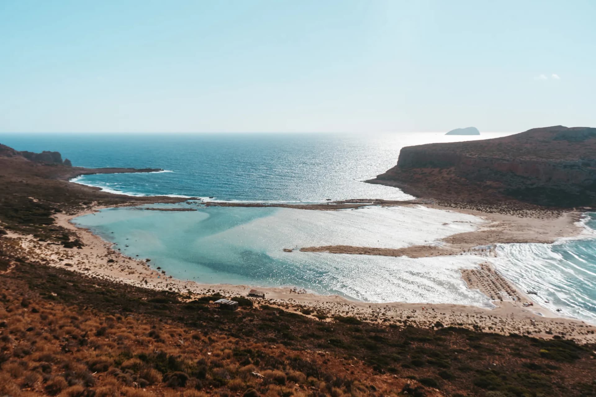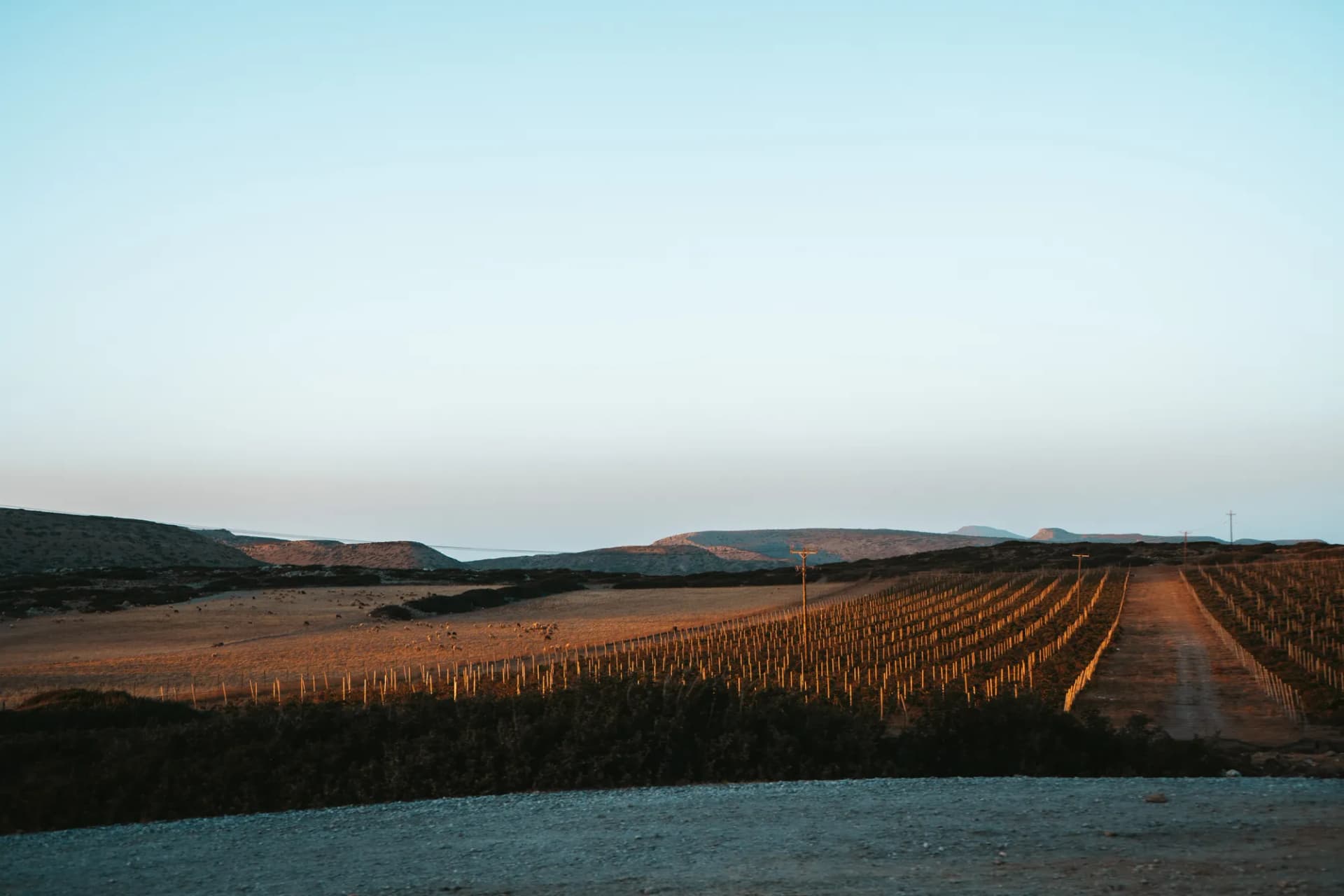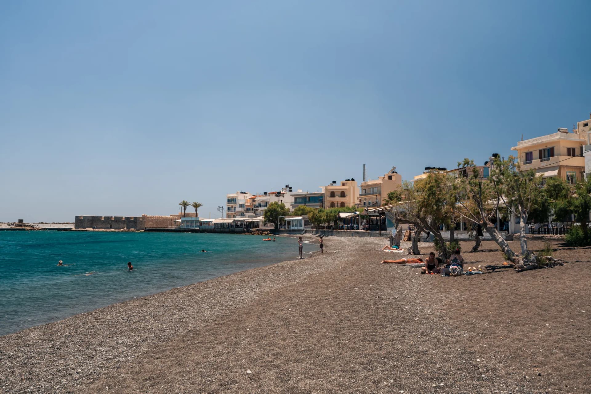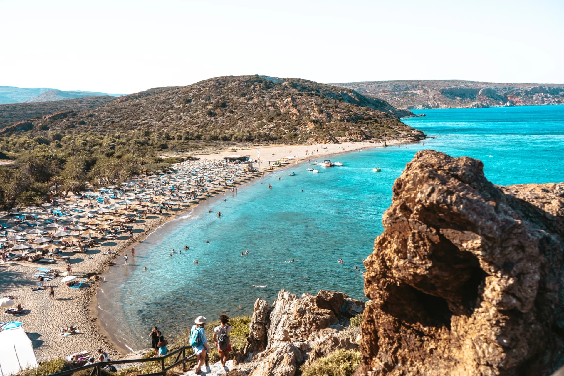
Between Agios Nikolaos and Sitia, the main road crosses a dry landscape of hills, olive groves and vineyards. Yet just past the village of Exo Mouliana, a small stream has carved a green, shady ravine that runs all the way down to the sea: this is Richtis Gorge. About 3 km of waymarked trail, 350 m of height difference, plane trees, oleanders, a 15 to 20 m waterfall and, at the end, a pebble beach on the Sea of Crete.
It is one of the few Cretan gorges that open onto the north coast, and one of the only ones in the east of the island where water flows all year round. It is far less crowded than Samaria, shorter and cooler, and perfect for a half-day walk with a real reward halfway: a pool where you can swim at the foot of the waterfall.
In this guide, I give you everything you need to plan the hike: the exact starting point, how long it really takes, difficulty, entry fee, the best season and your options for getting back, which is the real logistical question of this walk.
Where is Richtis Gorge?
Richtis Gorge lies in the north-east of Crete, in the regional unit of Lassithi, within the municipality of Sitia. The ravine starts at Exo Mouliana, a village on the main road linking Agios Nikolaos and Sitia, and runs north down to Richtis beach, east of the village of Kalavros.

The stream rises on the slopes of Mount Drymias (918 m), fed by the Lachanas and Mesa Mouliana torrents. The name itself comes from the Cretan dialect: “richtis” means a waterfall, the very one the gorge is famous for.
The gorge is a protected site and one of the geosites of the Sitia UNESCO Global Geopark, a member of the geoparks network since 2015. The ravine was formed in phyllites and quartzites dated to around 360 million years ago (Carboniferous and Permian): schists, gneiss, amphibolites and a little marble. These rocks erode unevenly, which explains the steps in the stream bed and the waterfall.
Hike fact sheet
The figures vary a little from one source to another depending on the starting point used (car park, village or bridge). Here is a cautious summary.

| Criterion | Richtis Gorge |
|---|---|
| Start | Lachanas bridge, east of Exo Mouliana (car park about 20 min away on foot) |
| Finish | Richtis pebble beach, east of Kalavros |
| Trail length | About 3 km through the gorge, about 5 km from the car park |
| There and back | About 8 to 10 km depending on the starting point |
| Height difference | About 350 m (downhill on the way out, uphill on the way back) |
| Time to the waterfall | 1.5 to 2 hours from the bridge |
| Total time | 3 to 4 hours of walking there and back, excluding breaks |
| Difficulty | Moderate: stream crossings, slippery stones |
| Waymarking | Red, white and yellow |
| Waterfall height | 15 to 20 m depending on the source |
| Entry | Small cash entry fee (€3 according to most sources) |
| Water | Permanent stream (not drinkable), fountain at the beach |
| Mobile signal | Weak or non-existent at the bottom of the ravine |
The route step by step
From the car park to the Lachanas bridge
The main car park is by the main road, about a hundred metres before Exo Mouliana when coming from Agios Nikolaos. From there, a small paved lane leads down in about 20 minutes to the start of the trail, where an information hut collects the entry fee. Some visitors drive down to the bridge to save about 30 minutes, but space there is limited.
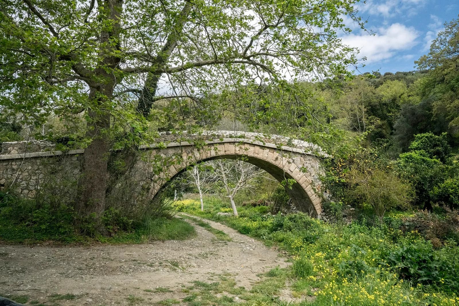
The real start of the gorge is the Lachanas bridge, an arched stone bridge that most sources date to the 19th century (you will sometimes see it described as Venetian). Its history is a dark one: during the population exchange between Greece and Turkey in the early 1920s, Muslims from the area who were trying to reach Sitia to sail for Turkey are said to have been killed there. The trail passes under the arch before heading into the ravine.
From the bridge to the waterfall
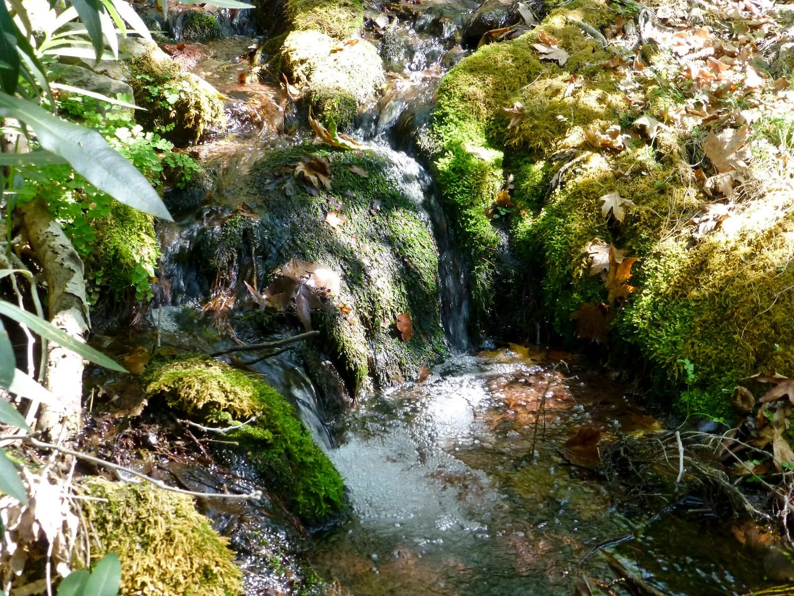
This is the most beautiful section. The trail follows the stream bed beneath a canopy of plane trees, with oleanders, ivy, wild pear trees and sage along the banks. You cross the stream several times, on stepping stones or small log bridges. In places the walls close in and tower over the path.
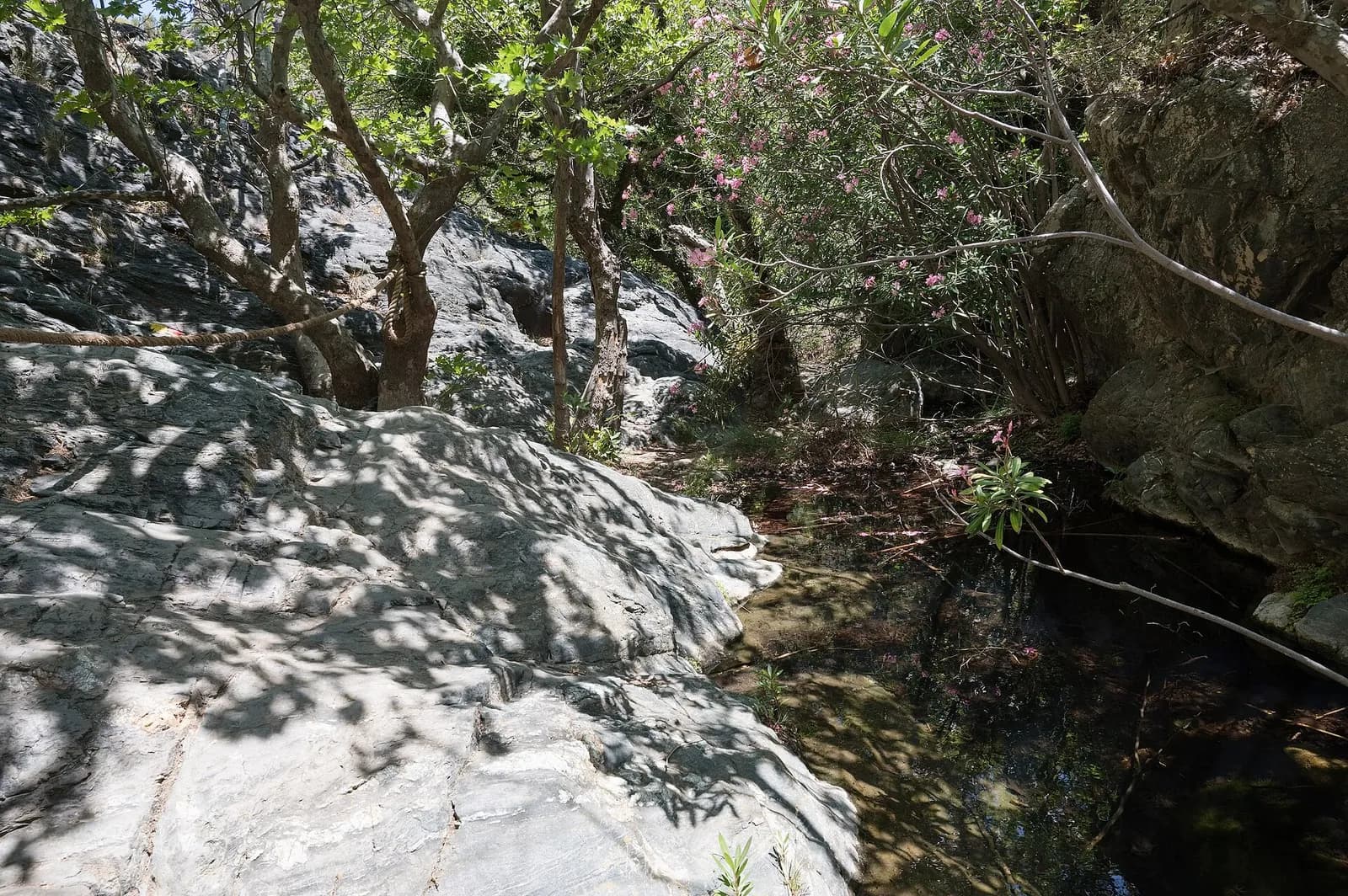
Along the way, you pass the ruins of several watermills and small farms, reminders of a time when the stream drove the valley's economy. Part of the water is now captured by a reservoir, but the stream still flows all year round.
The Richtis waterfall
After 1.5 to 2 hours of walking, wooden steps lead down to the waterfall. It slides down a moss-covered rock face, about 20 m high according to most sources (some say 15 m), and fills a small pool where you can swim. The water is very cold, even in August. A wooden table with benches lets you have a picnic beside it.

From the waterfall to the beach
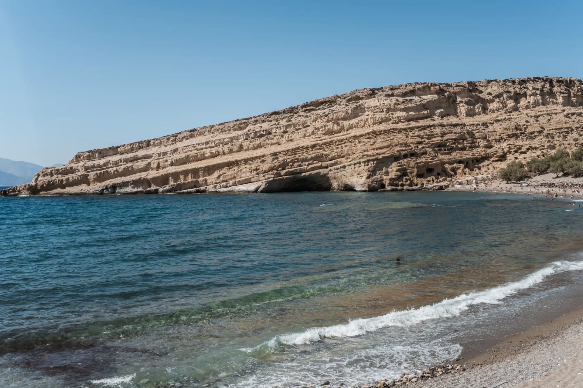
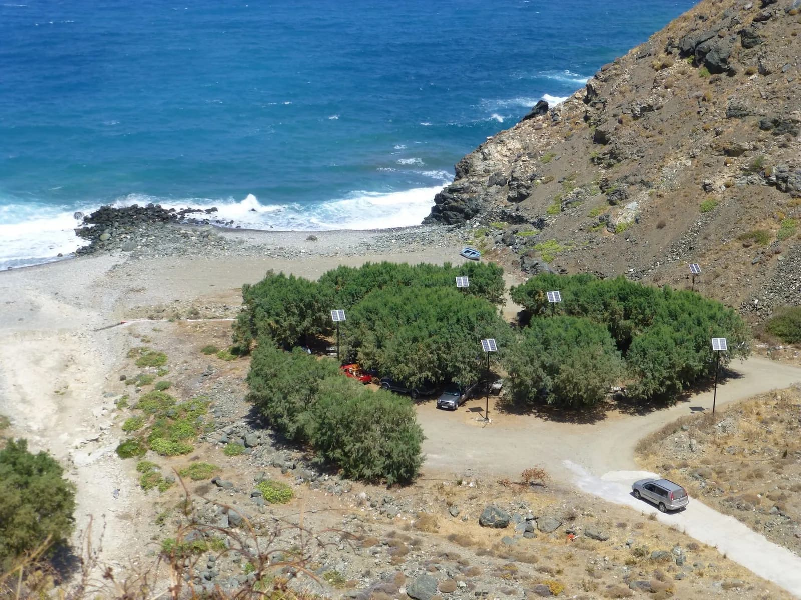
From there, it is about another 30 minutes' walk to leave the gorge and reach Richtis beach. It is a fairly wild pebble beach, with tamarisk trees for shade, stone tables and benches and a fountain that runs all year round. No sunloungers or beachside taverna: bring your own picnic. The pebbles make water shoes handy here too.
How do you get back after the hike?
Richtis Gorge is not a natural loop and no bus serves the beach. So you need to choose your plan before setting off.
- Walking there and back: this is the most common option. You walk down to the waterfall or the beach, then climb back up the same trail. Allow 3 to 4 hours of walking in total. If the beach doesn't appeal, turning back at the waterfall makes the outing much shorter.
- The short version from the beach: park at the beach car park and walk up the stream to the waterfall in about 30 minutes. Ideal with young children. The access road to the beach is narrow, winding and partly unpaved: avoid it at night or after heavy rain.
- Two cars: if you are travelling as a group, leave one car at the beach car park and drive the other back to Exo Mouliana. That way you only do the walk downhill.
- Taxi: there is no taxi rank at the beach and the mobile signal is weak. If you are considering this option, book a taxi from Sitia in advance, with a fixed pick-up time.
The hiking website Visorando also suggests a loop of about 9.7 km starting from the Exo Mouliana car park, with about 370 m of ascent and an average time of 3 hours 50 minutes. It's a good option if you'd rather not walk the same path twice.
When to visit Richtis Gorge
The stream flows all year round, which sets Richtis apart from many Cretan gorges that run dry from June. The flow still varies a lot with the seasons, and the best time depends on what you are looking for. For an overview of the climate, see our guide on when to visit Crete, month by month.
| Season | Waterfall | Walking conditions | My take |
|---|---|---|---|
| Winter (December to February) | Strong flow | Tricky stream crossings, muddy trail, short days | For experienced hikers only |
| Spring (March to May) | Most impressive flow | Mild temperatures, plants in bloom | The best time |
| Summer (June to August) | Reduced but still flowing | Pleasant shade in the ravine, heat on the climb back, busy at weekends | Set off early in the morning |
| Autumn (September to November) | Lowest flow in September | Sea still warm at the beach | A good compromise, but don't expect a big waterfall |
In summer, the gorge gets busy, especially at weekends, and the main car park often fills up by 10am. The woodland darkens quickly late in the day: it is recommended not to enter the gorge after 5pm in summer and after 3pm in spring and autumn, so you have time to get out while it is still light.
Difficulty and safety
Richtis Gorge is no expedition: the trail is well waymarked, with no vertiginous sections or ropes. It is generally rated moderate in spring, summer and autumn, and harder in winter, when the stream crossings get deep. It suits children from about 8 years old who are used to walking.

- Slippery stones: the stream crossings and wet rocks are the main hazard. Shoes with grippy soles make all the difference.
- Weak mobile signal: the signal is weak or non-existent at the bottom of the ravine. Tell someone your route and download the offline map before you go.
- Water not drinkable: don't drink the water from the stream or the pool. The only reliable source is the fountain at the beach.
- After heavy rain: the flow can rise quickly and make the crossings dangerous. In that case, postpone your hike.
Gear and budget
You don't need any specialist kit, but a few things make the walk much more enjoyable.
- Hiking boots or trail shoes with good grip (no flip-flops)
- Water shoes for swimming in the pool and for the pebbles on the beach
- At least 1.5 litres of water per person, more in summer
- Swimsuit, light towel and a picnic
- A hat for the climb back and sunscreen to apply after swimming
- Cash for the entry fee (no card payments)
Getting there by car and parking
Exo Mouliana sits right on the main road between Agios Nikolaos and Sitia. KTEL buses link the two towns, but there is no practical service to the beach: a car remains the easiest way to get there and to sort out the return. All my tips for renting a car in Crete are in a dedicated guide.

| From | Distance (approx.) | Driving time (approx.) |
|---|---|---|
| Sitia | 15 km | 20 to 25 min |
| Agios Nikolaos | 50 km | 1 hour |
| Elounda | 60 km | 1 hour 15 min |
| Heraklion | 110 km | 1 hour 45 min to 2 hours |
The main car park, which is free, is by the main road just before Exo Mouliana when coming from the west. The second car park, near the beach, is reached by a small road that winds down to the coast: it is narrow and twisty, so take it slowly. In both cases, arrive before 10am in summer to find a space.
DiscoverCars
Car rental comparison in 150+ countries
Compare prices from Hertz, Avis, Sixt and local providers. All fees included, free cancellation. Rated 4.6/5 on Trustpilot.


What to do around the gorge
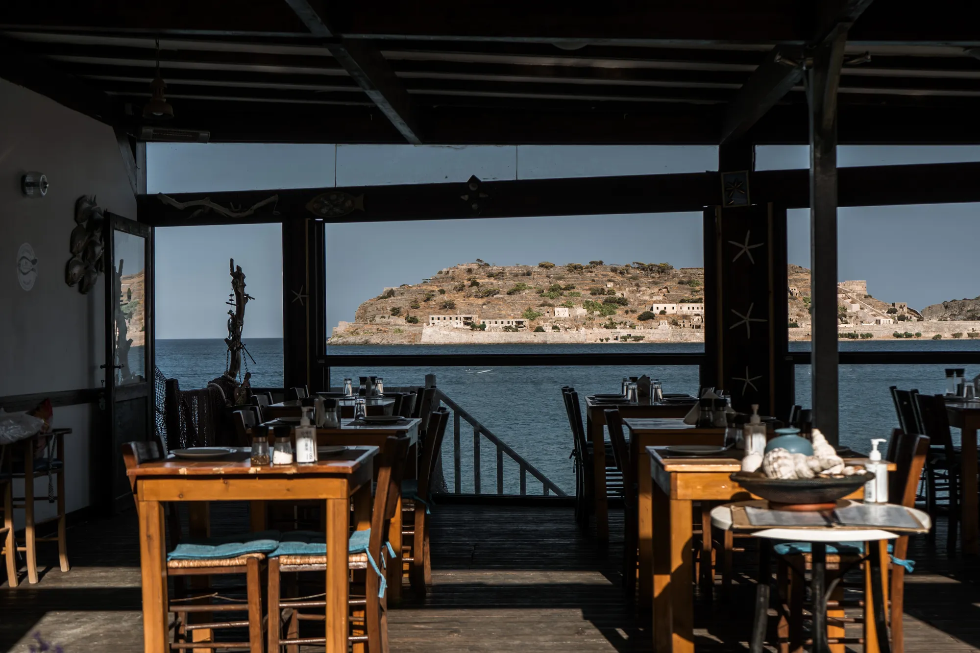
Richtis pairs very well with a day in eastern Lassithi. To the west, the little harbour of Mochlos, below the main road, is perfect for a fish lunch facing the islet of the same name after the hike. To the east, Sitia has its seafront, its archaeological museum and makes a handy base for exploring the rest of the geopark.
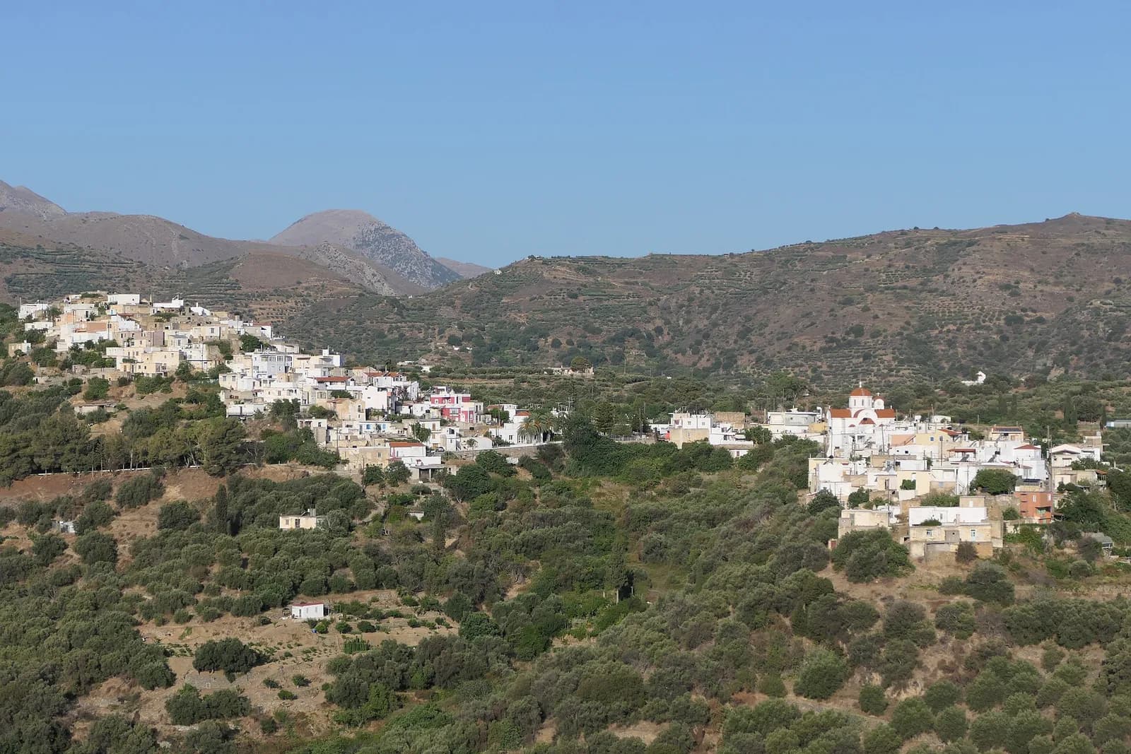
If you are staying near Agios Nikolaos or Elounda, I recommend doing Richtis in the morning, having lunch in Mochlos, then heading back in the late afternoon. The Lassithi Plateau deserves a separate day, in the opposite direction.
Richtis or Samaria: which one to choose?
The two hikes have little in common. The Samaria Gorge hike is a long, full-day crossing in the west of the island, with a boat ride back. Richtis is a half-day outing, more intimate, with water and shade all the way and a waterfall you can swim under. If you are staying in the east, it is the best gorge hike within driving distance.
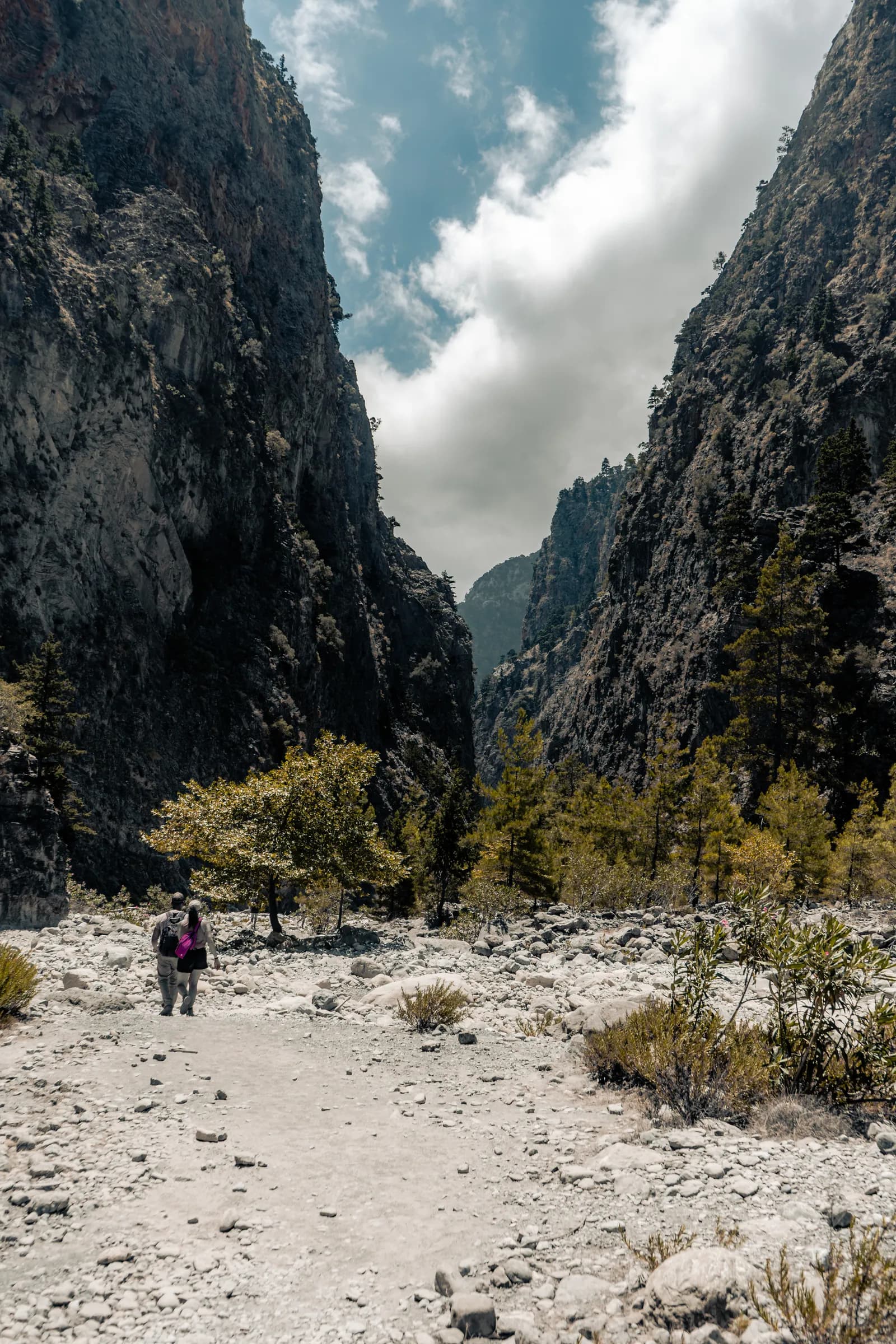
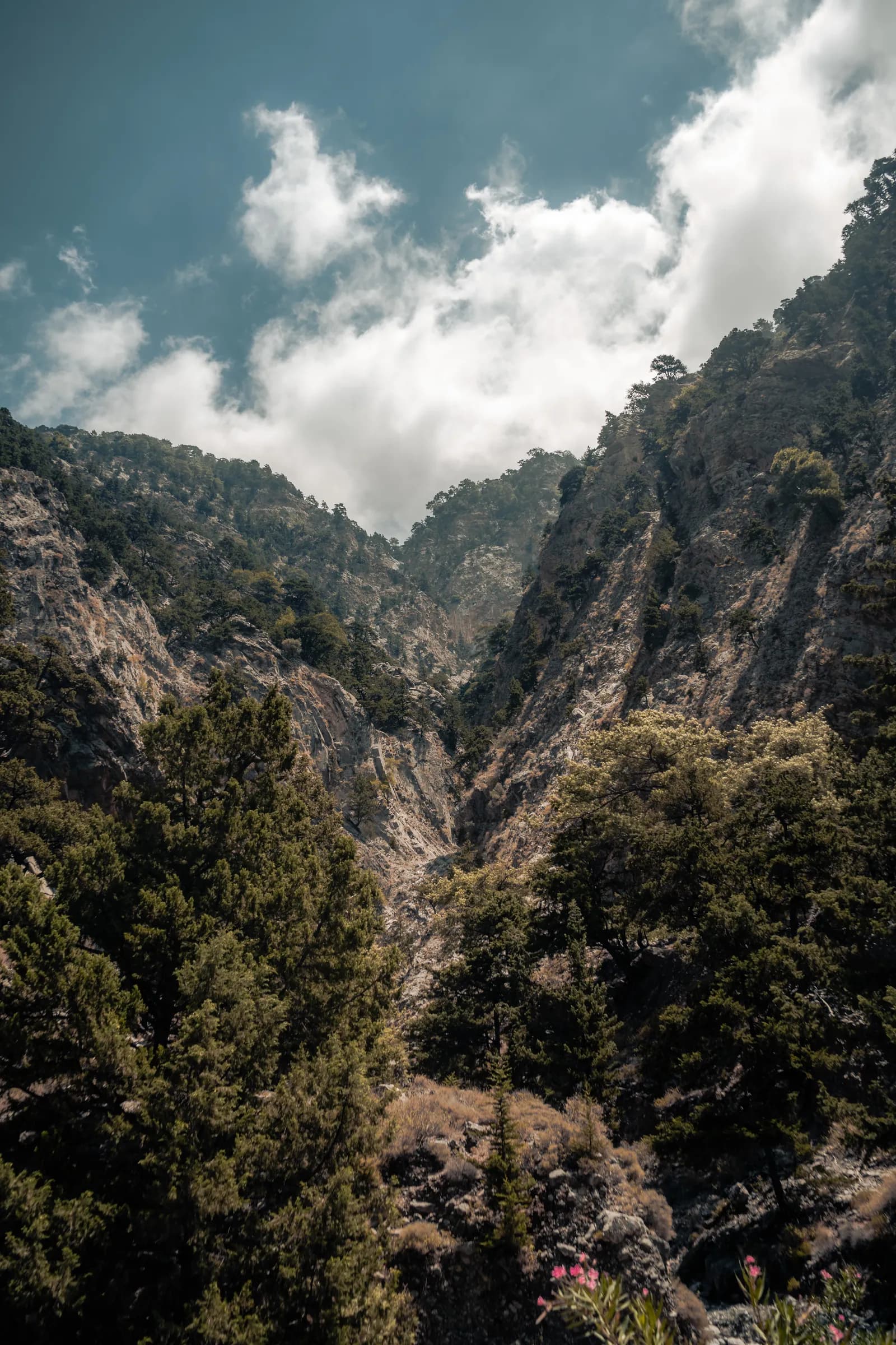
Photos : Pierre Bouyer
At Richtis, the reward isn't at the end of the trail but halfway along: a waterfall, an icy pool and the shade of plane trees in the middle of a Cretan summer.
My tips for a successful hike
- 01Set off early: you'll get a parking space, cooler air for the climb back and the waterfall almost to yourself.
- 02Come in spring if the waterfall is your priority: that's when it is most impressive.
- 03Bring change for the entry fee and plenty of water for the way back.
- 04Decide in advance how you'll get back: there and back, two cars or the short version from the beach.
- 05Respect the place: no sunscreen in the pool, and leave no litter in the ravine.
Frequently asked questions
Allow 1.5 to 2 hours from the Lachanas bridge to the waterfall, then about 20 more minutes to the beach. The full return hike on the same trail takes 3 to 4 hours of walking, not counting swimming and breaks.
Yes, a small entry fee is charged at an information hut at the start of the trail, cash only. Recent sources give €3 per person aged 16 and over, some mention €5: bring change.
Yes, you can swim in the pool at the foot of the waterfall, though the water is very cold even in summer. Avoid regular sunscreen before getting in, to protect the stream's wildlife and plants.
The full hike suits children from about 8 years old who are used to walking, as long as they wear proper shoes, because wet stones are slippery. With younger children, the short version from the beach (about 30 minutes to the waterfall) is a better fit.
There is a car park by the Agios Nikolaos-Sitia main road, just before Exo Mouliana, about 20 minutes' walk from the start of the trail. A second car park lies near the beach, reached by a narrow, winding lane that is best avoided at night or after rain.
In a nutshell
Richtis Gorge offers one of the finest half-day hikes in eastern Crete: a short, shady trail, a waterfall you can swim under and a pebble beach at the end. For more nature ideas, read our guide to Lake Kournas, the island's only freshwater lake, and to plan your itinerary, our complete guide to Crete.
Sources and fact-checkingInformation checked on 7 October 2026 · 12 sources consulted
- Wikipedia (EN) : Richtis Gorge
- Cretan Beaches : Richtis gorge
- Destination Crete : Richtis Gorge, Lassithi
- Visit Sitia : the top 7 gorges in Sitia
- Sitia UNESCO Global Geopark : Richtis gorge and waterfall (géosite 20)
- Wikipedia (EN) : Sitia Nature Park
- Travel.gr : randonnée dans les gorges de Richtis
- Crete.direct : Richtis gorge
- Discover on foot : Richtis gorge
- Visorando : gorges de Richtis depuis Exo Mouliana
- Nomad and in love : Richtis gorge
- Université hellénique méditerranéenne : fiche descriptive du ravin de Richtis
Âme Bohème exists thanks to you
Some links in this article are affiliate links. This means that if you book or purchase a product through these links, we receive a small commission, at no extra cost to you. It's thanks to this support that we can continue creating free, quality content.
You can also buy us a coffee, or follow us on Instagram and Facebook.